Areas of Tunbridge Wells
Discover the neighbourhoods and villages of Tunbridge Wells, Kent.
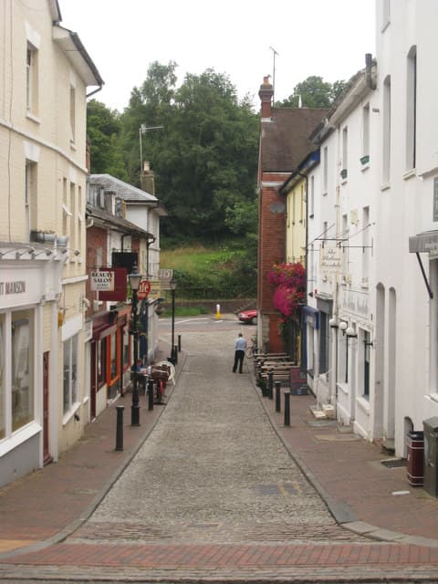
The commercial heart of Tunbridge Wells, built around the High Street, Royal Victoria Place and the historic Pantiles.
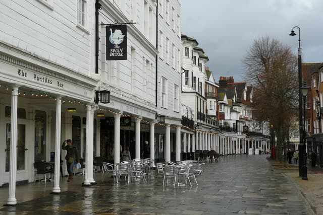
A colonnaded Georgian parade built around the historic Chalybeate Spring, discovered in 1606.
Southborough
Southborough is a town immediately north of Tunbridge Wells, centred on its 71-acre common and known for its cricketing heritage.
Rusthall
Rusthall is a village about 2 miles west of Tunbridge Wells, home to Toad Rock and the sandstone outcrops of Rusthall Common.
Pembury
Pembury is a large village about 2.5 miles north-east of Tunbridge Wells, in the High Weald, and the home of Tunbridge Wells Hospital.
Langton Green
Langton Green is a village about 2 miles west of Tunbridge Wells on the A264, known for All Saints church and as the birthplace of Subbuteo.
Speldhurst
Speldhurst is a village about 3 miles west of Tunbridge Wells, known for St Mary's Church, its 13th-century pub and the Speldhurst sausage.
High Brooms
High Brooms is a suburb of Tunbridge Wells in the parish of Southborough, with its own railway station and a brick-making past.
Frant
Frant is a village about 3 miles south of Tunbridge Wells, just over the Sussex border, known for St Alban's Church and its annual Sloe Gin World Championships.
Bidborough
Bidborough is a small village between Tunbridge Wells and Tonbridge, centred on the Grade II* listed 11th-century St Lawrence's Church.